GIS HUB
Information-Driven Initiative in Local Government
Our team is working with local government organizations to implement ArcGIS Hub Solutions and ensure that every town, city, or county is supported well into the future. Esri’s ArcGIS Hub provides an unparalleled community engagement platform and common operating picture for GIS operations, both internally and externally. As a scalable and sustainable solution, ArcGIS Hub deployments can be configured for any level of GIS maturity and positioned to grow organically, aligning with organizational goals and initiatives.
A GIS Hub offers your organization:
- A graphic-rich and easy way of organizing your data, information, and community characteristics into categories (such as maps and applications)
- A tool to orchestrate and organize real-time specific data-centric initiatives
- Help with introducing open data to your community so you can share data with the world
- A suite of visualization tools
- Real-time custom dashboards and insights into data
- Story Maps and living documents
- Community engagement opportunities
- Streamlined collaboration with internal and external stakeholders
- Tools and techniques for innovation
- The next generation of crowdsourcing
The success of your ArcGIS Hub will be based on your imagination, desire, and the data you have to put into it. With all of this, the HUB can be an astronomical improvement to how you access and manage your GIS data and applications.
Let us help you maximize engagement, communication, collaboration, and data sharing through Esri’s ArcGIS Hub.
Call us at 888.757.4222.
Economic Development Portal (EDP)
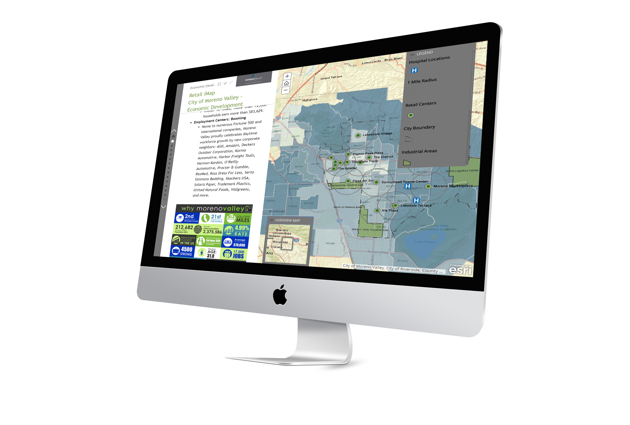
A modern approach to promoting economic growth is to build a graphic-rich and informative geospatial solution that modernizes traditional economic development that attempts to attract and retain business, promotes redevelopment, and supports intelligent long-range planning. Geographic Technologies Group is building smart city economic portals that encourage investment, allow site selection, promote key industry sectors, describe employment profiles, encourage and retain small businesses, and identify opportunities and services within a community.
Our team will build your future Economic Web Portal.
ArcGIS URBAN
A Step by Step Plan and Implementation for Smart Government Organizations
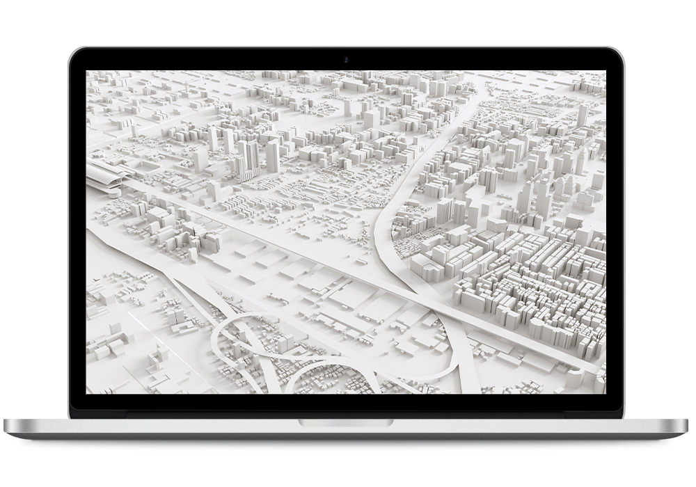
Esri’s 3D ArcGIS Urban in tandem with City Engine, ArcGIS Pro, Geo Planner, ArcGIS HUB, and ArcGIS Online are supporting advanced and smart city business objectives including long range planning, current planning and community based decision making and engagement. The next decade will be the 3D systems of insight and engagement. 3D intuitive GIS mapping is the future for all government organizations. 3D GIS management systems support comprehensive planning, general land use planning, strategic planning, feasibility studies, conceptual design development, zoning regulations, urban design, and most importantly community engagement.
Geographic Technologies Group offers government organizations a step by step guide to understanding, planning, designing, implementing and training and educating your organization. Our team also offers a real and present understanding of the Return On Investment (ROI) and 3D business realization in government organizations.
Practical uses of 3D GIS, ArcGIS Urban and City Engine
ArcGIS Urban: Part of the Esri Ecosystem. A system of Insight and Community Engagement
Today’s Interactive 3D Environment
3D Software Capability Overview
ArcGIS Urban – Planning Tools
System Architecture
Organizational Needs
How to Use Arc GIS Urban
Analytics
Planning
Engagement
Database Design
Standard Operating Procedures (SOP)
Streetscape Modeling
Parcel Management
Building Generation
Zoning
Building Space and Type
Scenario Building
Project and Plan Tracking
Interoperability and Integration
Business Workflow
Operational Dashboard
Set Up and Configuration
Operating System (OS), Hardware and Networking
Esri Software and Licensing
Spatial Integration and Software Extensions
Sketch Up Pro
Adobe Illustrator
Supporting Business Objectives
Training Workshops
Training Seminar
Education Strategies
Organizational Knowledge Transfer
Value Proposition of 3D
Business Realization Planning
Return on Investment
Analytic Advantages
Planning Improvements
Community Engagement Advantages
Discovering Patterns
Working More Efficiently
Streamline Processes
ArcGIS HUB Solution
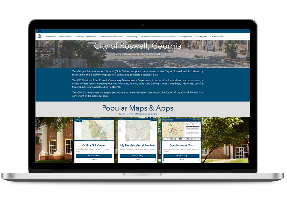
Building an ArcGIS Hub solution introduces new opportunities to an organization by leveraging the power of “smart” resources, including community data and information, community knowledge, community relationships, and innovative and collaborative intelligence. ArcGIS Hub will re-invent your organization by leveraging community data and technology and embrace internal and external stakeholders. ArcGIS Hub is the future of data sharing and data communication.
Our team will build your future ArcGIS Hub Sites.
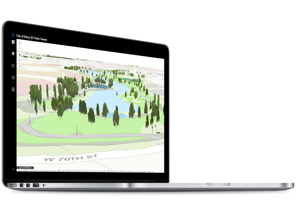
Open Data and Transparent Government Solution
The smart city survives and prospers because it provides critical decision support data to the community and the world. Open and shared data, as well as a one-stop-shop for digital data, is a characteristic of a smart city. Data is vital to decision support. A 24/7 open access to mission–critical data is a part of today‘s local government smart landscape.
Our team will build your future ArcGIS Open Data Portals.
3-Dimensional (3D) GIS Models
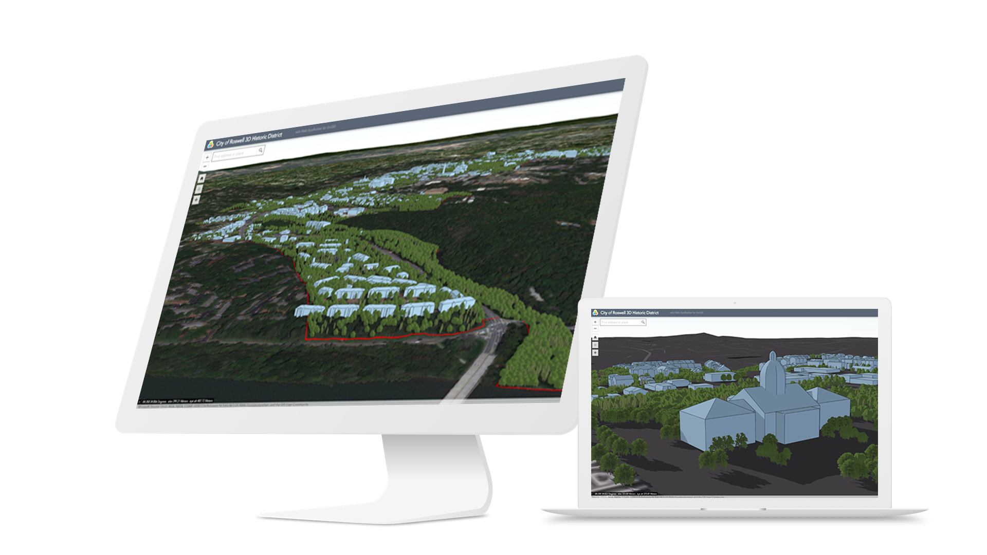
Smart communities are adding a new dimension to their data. Using the ArcGIS platform to visualize data in 3–Dimension is our future. This next level with 3D modeling will add dimension to your data. It offers your organizations a new way of looking at your data about facilities, natural resources, planning initiatives, regional analysis, and local government. Today’s Smart 3D modeling tools allow new types of analysis, new ways to visualize data, and an extraordinary way of communicating project information.
Our team will build your future 3-Dimensional (3D) GIS Models.
Crowdsourcing Applications
Smart cities are online communities. Citizen engagement is our future. The growth in mobile technology and smartphones has catapulted the idea of innovative and easy to use crowdsourcing applications. The principle behind crowdsourcing is simple. Once decision-makers understand what needs to be collected (potholes, graffiti, crime, ideas, damaged regulatory signs) the next phase is to build a public–facing application that would allow the community to add data about what they see in the field. Acquiring feedback and ideas from large groups of people offers unparalleled substantial advantages to your organization. Crowdsourcing apps are used to collect data from a large number of users using a single app on their mobile devices.
Our team will build your future Crowdsourcing Applications.
Departmental and Enterprise GIS Business Applications
One characteristic of the smart organization is bespoke or tailored geosmart solutions for specific departments or divisions. These smart geospatial initiatives focus on specific disciplines including public safety, natural resources, homelessness and affordable housing, utilities, telecommunications, public works, transportation, water and sewer, stormwater, and others. GTG has planned, designed and implemented a suite of bespoke solutions and products to fit all of your government needs, including:
- GreenCityGIS
- SafeCityGIS
- UtilityCityGIS
- FiberCityGIS
- SmartCityGIS
- GISPlan
Our team will build your future enterprise GIS bespoke business solutions.
Building Information Modeling (BIM) and Virtual Reality (VR)
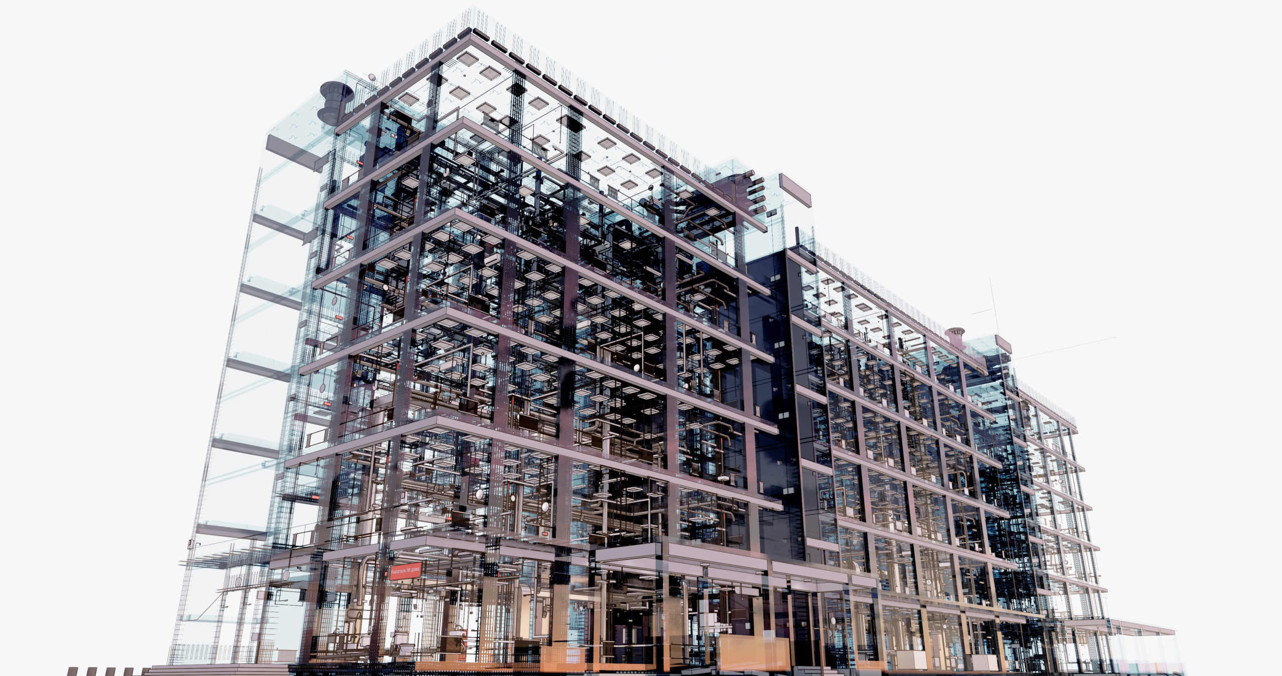
Building Information Modeling (BIM) is the process of storing, managing, exchanging, generating and sharing information about buildings. The integration of BIM with 3D and 5D and Virtual Reality (VR) where the user can visualize and interact with the virtual world is part of our future smart city landscape.
Our team will build your future 3D, BIM, and VR solutions.
Story Maps
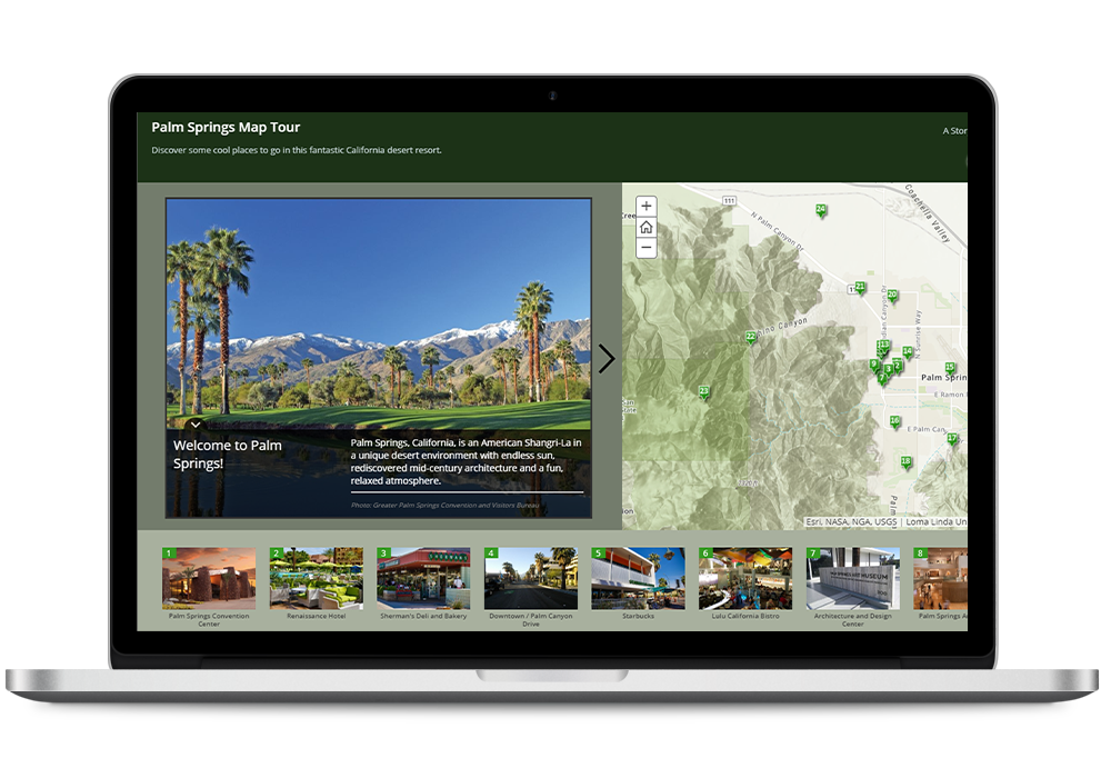
The next generation of map-based storytelling is part of today’s smart city. Story maps allow you to display information to the public in a visually appealing way. It is an extraordinary tool that allows you to create inspiring geospatial stories by combining text, interactive maps, and other multimedia content. They make it easy to harness the power of maps and geography to tell your story. Geospatial story maps are used throughout government to portray parks and recreation, crime and crime prevention, cold cases, historic walking tours, riverfront business areas, natural areas, and many more.
Our team will build your future unique ArcGIS Story Maps: The Next Generation of Map-Based Storytelling.
Real-time Data and Data Analytics
Data that is updated in real-time is critical in today’s smart organization. Good, reliable data analytics means better predictions, healthier lives. Smart organizations utilize real-time data and advanced analytics to make better and more informed decisions on a daily basis. Geospatial technology embraces real-time data and advanced analytics.
Our team will help you use real-time data and advanced data analytics.
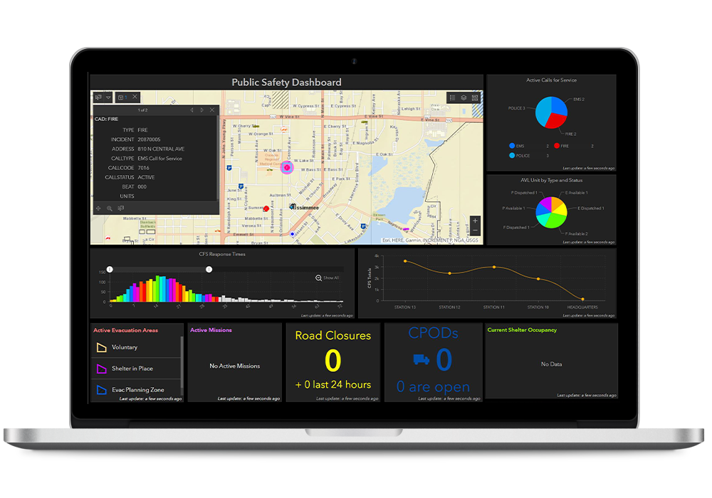
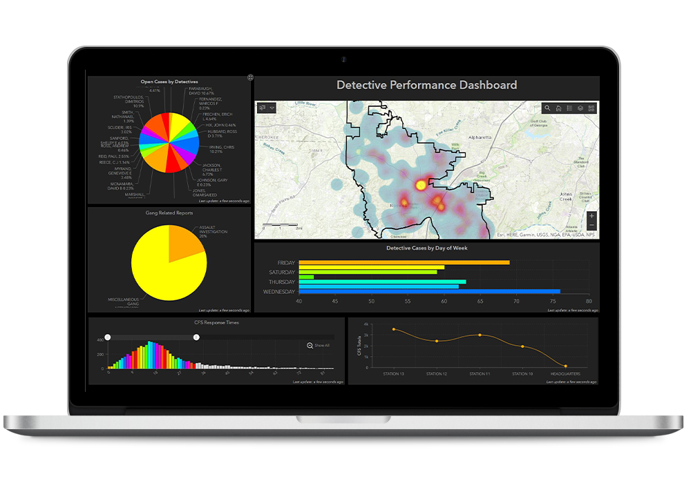
Statistical Real-time Data Driven Dashboards
Today’s statistical dashboards help monitor important real-time information about the day-to-day operations of government. Dashboards help your organization monitor the health of your organization. Whether it’s Utilities, Parks and Recreation, Public Safety, Public Works, Transportation, or administration, the dashboard offers a new way to look at data. Custom statistical real-time, data-driven dashboards provide a comprehensive view of the data most important to you.
Our team will create a personalized view of your data using operational dashboards.
Systems Interoperability and Integration – A System of Systems
The term smart organization is applied to data-driven towns, cities, and counties. It is critical to know how to turn data into usable information. Interoperable systems or system integration practices will positively change the way your organization accesses and uses data. Interoperability means the ability of an information system to work together within and across organizational boundaries. Smart organizations make sure all computer systems or software are able to exchange and make use of information.
Our team will help you become interoperable.
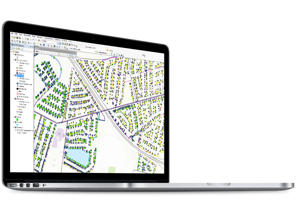
Integrated Geospatial Solutions for Telecommunications
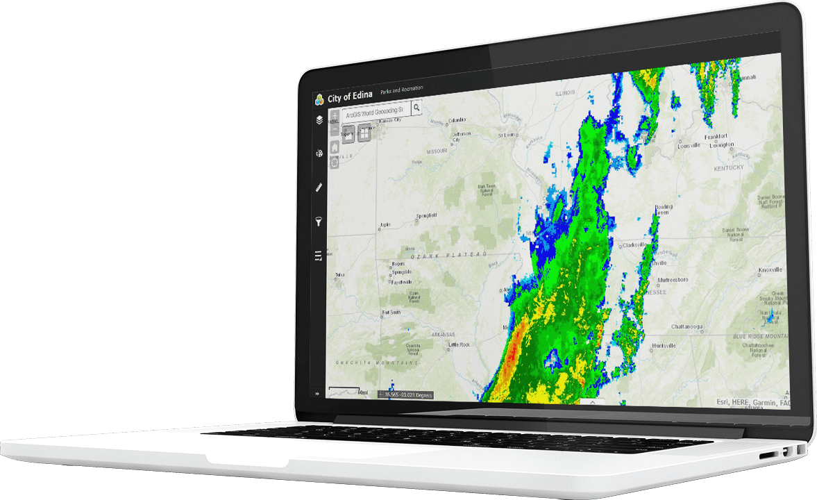
Smart organizations are built on fiber. Town, city, county and regional planners state that a smart organization must include massive fiber optic backbones to support small cells and traditional cell sites, landline phones, internet service providers and fiber to the home, private communications networks for city services, public and private Wi-Fi and private networks for internet connections to businesses. Fiber management and telecommunications analytic solutions are critical to our future.
Our team builds geospatial solutions for advanced fiber management and telecommunications data analysis.
